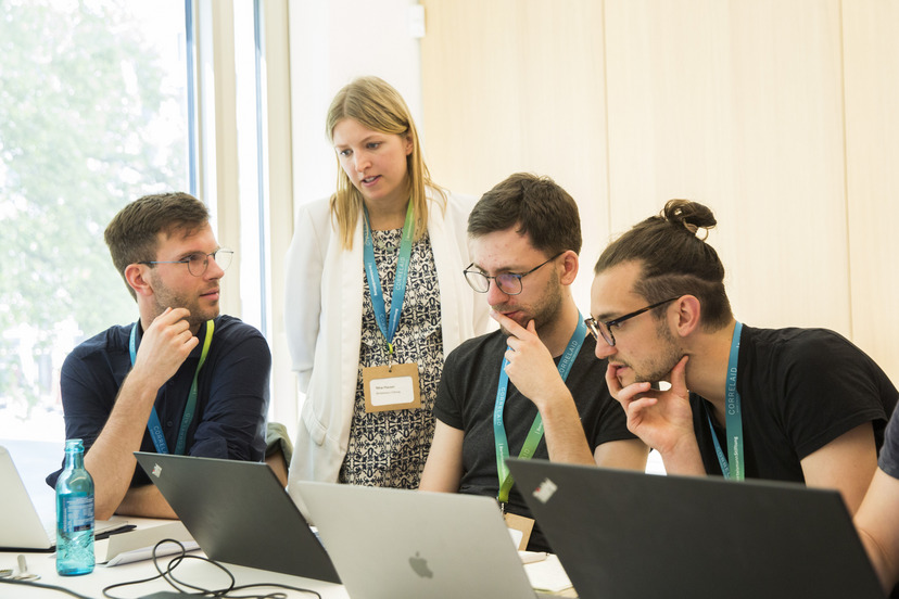
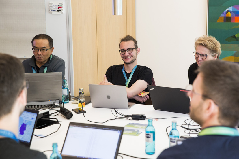
As the coding phase began, three teams opened their laptops: While one team optimized the data query via the Overpass API from Open Street Maps, a second simultaneously programmed the code for geographical matching using two tools: postal codes and geometric data. Another team developed indicators from the resulting datasets and checked data quality using information from the register of pharmacies. Between the sprint phases, the teams repeatedly exchanged information so they could use the work done by the others as input for their own efforts. The participants submitted their results directly via the GitHub repository they had been provided, a collaborative IT tool that the Bertelsmann Stiftung regularly uses to drive forward technological developments. The results were consolidated by our team following the Data Dialogue.
In cooperation with the data enthusiasts and the Data Science Lab, the separate functions will be brought together to create a holistic prototype that can be used to send automated data queries to mapping platforms, match geometric information with the Wegweiser Kommune portal and calculate the relevant indicators. In the future, the plan is to query other information on local infrastructure in addition to pharmacies and check the data quality using alternative data sources. Over the long term, the use of open data of this kind will make it possible for us to leverage a wealth of free information that we and others can use within a data-enrichment process to carry out insightful analyses. Working on the prototype also opened up new opportunities for exchange, including with the Thünen Institute, which is currently addressing similar data-related topics.
